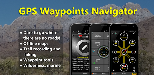
Trusting standard city map apps when you are hiking a remote trail in the Rockies, trekking through the Alps, or sailing off the coast of New Zealand is a fantastic way to get completely lost. You need a hardcore navigation tool that actually works when your cell signal drops to absolute zero. If you want to turn your phone into a legit, military grade GPS, GPS Waypoints Navigator | MAPS is an absolute beast of an app.
THE ULTIMATE OFFLINE CAMPING COMPANION
Whether you are taking a heavy 4×4 off roading or just setting up camp way off the grid, relying on an internet connection is a massive rookie mistake.
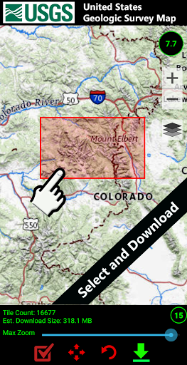
This app lets you download incredibly detailed maps straight to your device before you ever leave the house. Running out of phone storage because of too many photos and podcasts? You can easily push all those downloaded maps to an external SD card. You literally have zero excuses for getting lost in the woods now. It keeps you on the right path when the wilderness goes completely quiet.
WAYPOINTS AND ENDLESS MAP OPTIONS
Trying to organize trail markers on most default apps is a clunky nightmare.
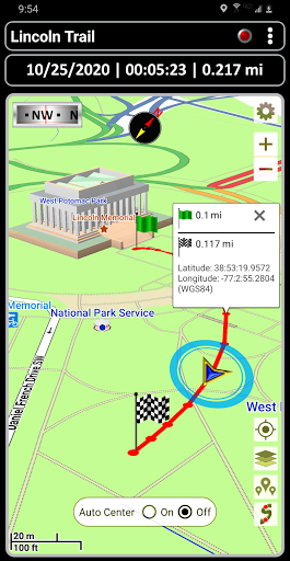
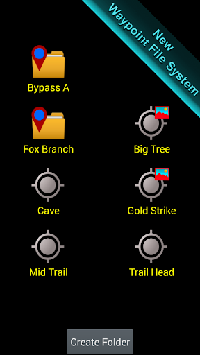
Plotting out a complex route or dropping pins for your weekend geocaching trip is ridiculously smooth here. The smart filing system keeps all your custom locations perfectly organized. But the real magic is the sheer volume of map sources at your fingertips. You aren’t just stuck with a boring, generic street view. You get full access to USGS Topo Maps, Canada Toporama, OpenStreetMaps, cycling routes, and hundreds of detailed 3D vector maps. You can always find the exact style of map that fits your specific terrain.
HARDCORE DATA AND MARINE NAVIGATION
If you are taking a boat out on the water, this thing is a total lifesaver.
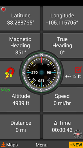
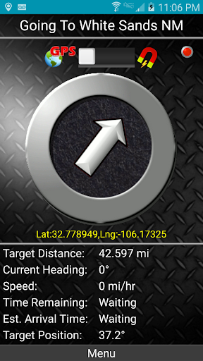
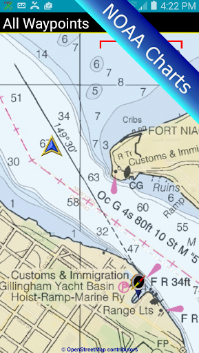
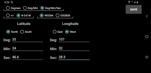
It pulls in heavy duty NOAA Nautical Charts and OpenSeaMap data so you can pilot your sailboat with absolute confidence. It even supports full nautical unit reporting. Back on land, you can easily import or export all your custom trails, photos, and waypoints using standard GPX, KML, or KMZ files. Want to see your massive weekend hike mapped out in 3D? Just push your tracking data over to Google Earth. It acts like a digital Swiss Army knife for explorers, packed with military coordinate finders, trail altitude profiles, proximity alerts, and highly precise compasses.
PRECISION MEASUREMENTS AND WEATHER TRACKING
Guessing the distance to your next campsite is a great way to end up hiking in the pitch dark.
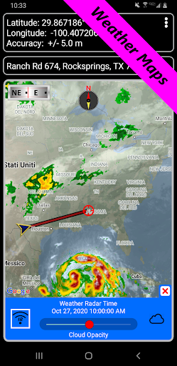
The built in measuring tools let you instantly calculate the exact distance and bearing between two points right on the screen. You also get integrated weather tracking so you never walk blindly into a massive storm. You can easily monitor moon phases and perfectly time the sunset so you can pitch your tent well before the daylight fades.