Relying on standard, mainstream navigation apps is a massive gamble the second you leave city limits. We have all been there. You are driving an RV through the Canadian Rockies, tearing up remote 4×4 trails in the Australian Outback, or trying to backpack across the Swiss Alps, and suddenly your signal drops. Your screen goes blank. You are completely lost.
This is exactly why OsmAnd+ is an absolute game changer. Built heavily on OpenStreetMap (OSM) data, it completely ditches the need for a live internet connection. It is arguably the most powerful offline map tool you can install on your phone right now.
TRUE OFFLINE FREEDOM AND PRIVACY
I hate apps that constantly track every move I make to sell my location data. OsmAnd+ is entirely open source, meaning they don’t harvest your personal data. You are the one who decides exactly what the app is allowed to access.
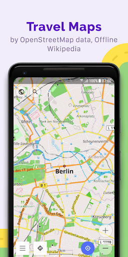
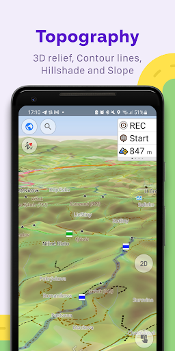
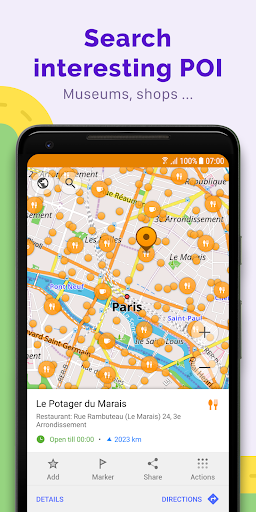
Because it operates offline, you download exactly what you need before you hit the road. We are talking unlimited map downloads. And it doesn’t just stop at basic street views. The app pulls in full topographic data with detailed contour lines, heavy duty 3D terrain maps, and even deep nautical depths if you are taking a boat out on the water. It also caches offline travel guides from Wikivoyage and offline Wikipedia articles. You can literally read up on the history of a random castle ruins in Scotland while standing right in front of it, miles away from a cell tower.
NAVIGATION BUILT FOR ANY VEHICLE
Most map apps assume you are driving a standard sedan. That is incredibly frustrating if you aren’t.
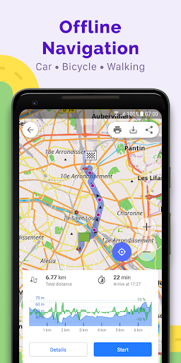
OsmAnd+ lets you build completely customized navigation profiles. You can generate highly specific routes for motorcycles, heavy 4x4s, bicycles, boats, or just walking. You can even force the routing engine to avoid specific road surfaces or dodge roads entirely based on your vehicle’s physical dimensions and weight limits.
The map styles are just as flexible. You can instantly swap between a slick touring view, a specialized winter ski map, an off road desert layout, or a topographic overlay. You can even stack different map layers on top of each other to get a hyper detailed view of your surroundings. Plus, with full Android Auto support, you can push all this customized data straight to your car’s dashboard screen.
RECORD, PLAN, AND SHARE YOUR ADVENTURE
If you are a massive data nerd, the route planning tools here will blow your mind.
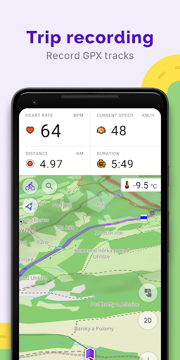
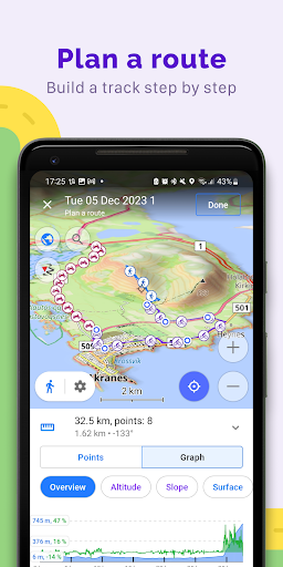
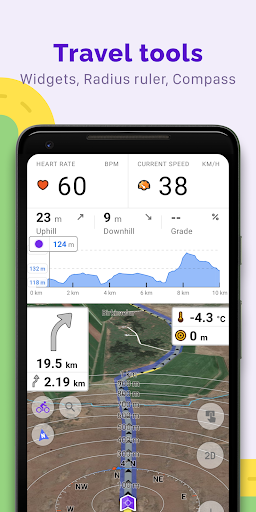
You can meticulously plot a massive overland trip point by point, utilizing different navigation profiles for different legs of the journey. As you move, the app records your exact path using GPX tracks. You get incredibly detailed visual data on your precise distance, current speed, and exactly how brutal the upcoming inclines and descents are going to be. Want to share that insane hidden trail you just found? You can easily export your GPX tracks straight into the OpenStreetMap community.
THE PRO UPGRADE REALITY CHECK
The base Plus version is phenomenal, but if you spend half your life outdoors, the Pro subscription is a massive flex.
Upgrading completely unlocks cross platform syncing with OsmAnd Cloud, meaning your saved markers, custom routes, and audio notes perfectly backup and restore across all your devices. It pushes map updates to your phone hourly, drops a slick online elevation profile widget on your screen, and pulls in live weather data plugins. It even hooks up to external Bluetooth and ANT+ sensors if you want to track hardcore telemetry while you ride.
Stop relying on fragile cell service. Download your maps, lock down your privacy, and actually enjoy the grid going dark.